Monitoring land and water productivity by Remote Sensing (WaPOR Phase 2)
Latest Project News
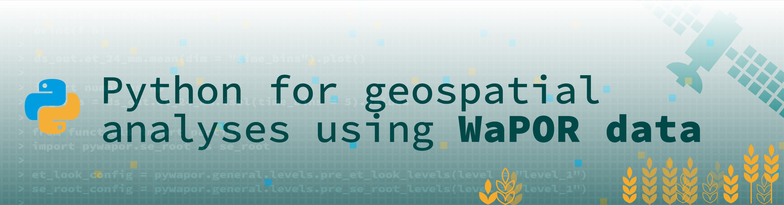
New MOOC available since April 2024 :"Python for Geospatial analyses using WaPOR data". More information here or go directly to the course.
WaPOR version 3 data is now available globally. Visit the new portal or follow the news at the FAO WaPOR website. Learn more in our new MOOC Introduction to WaPORv3 which includes materials on how to use the new portal and provided scripts. Also available in Spanish
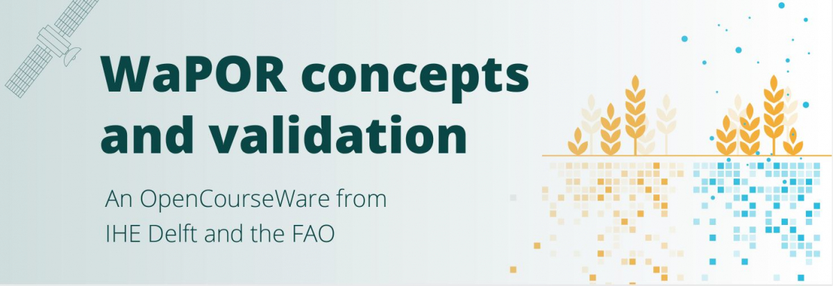
You can also follow our MOOC on WaPOR concepts and validation. More information can be found here or go directly to the course, or check out the pitches of the teams who participated in the last #WaPORhackathon to learn more about possible applications using WaPOR data.
Project overview

The WaPOR project aims to assist partner countries in developing their capacity to monitor and improve water and land productivity in agriculture, both rainfed and irrigated, responding therefore to the challenges that are posed by the dwindling of freshwater resources and the need to sustain agricultural production to ensure food security in the face of a changing climate. The WaPOR project is active in 10 countries (see map).
The project has three main components:
- Further improvements of the database following various quality assessments. Coming soon: Launch of WaPOR version 3 in mid 2023 will include global coverage!
IHE Delft is contributing to this component through implementing quality assessments of the data (see earlier study).
- Project activities will place emphasis on the capacity development of the ten partner countries so as to meaningfully contribute to the improvement of agricultural productivity and food security as well as to the amelioration of the use of natural agricultural resources such as water.
IHE Delft will develop training plans for the partner countries and implement various training activities (so far 16 trainings were implemented in 12 countries). In addition, four OpenCourseWare will be developed during the course of the project, with two new courses (and one course updated for the latest WaPOR version (Introduction WaPORv3).
- The creation of a compendium of user-centered implementable solutions and practical tools to effectively improve agricultural land and water productivity at different scales based on near real time information from the WaPOR database.
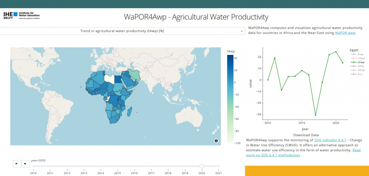
IHE Delft is developing various applications on irrigation performance assessments and groundwater recharge estimates using WaPOR data. In addition IHE Delft has developed a dashboard to evaluate change in agricultural water productivity to support monitoring SDG 6.4.1.
Various MSc students have used the WaPOR data for different applications (reports will be made available soon):
- Mawardhi, A.D., 2023. Improved crop yield prediction using coupled remote sensing based AquaCrop-GIS and Machine Learning Algorithms for Irrigated Sugarcane Plantation. MSc thesis. IHE Delft Institute for Water Education
- Muhammad, H., 2023. Deriving high-resolution evapotranspiration products using a data fusion method. MSc thesis. IHE Delft Institute for Water Education
- Dehati, S., 2023. Equity Assessment in Transboundary Water Resources Management using Remote Sensing data - A case study of the Nile River basin. MSc thesis. IHE Delft Institute for Water Education
- Hettler, W. (2022). Assessment of groundwater recharge using remote sensing information - Utilising FAO WaPOR to estimate groundwater recharge in the Hashemite Kingdom of Jordan. MSc thesis. IHE Delft Institute for Water Education
- Safi, C. (2022). Monitoring SDG 6.4.1 indicator at national and sub-national scale usin open access remote sensing derived data. Case study in Lebanon. MSc thesis. IHE Delft Institute for Water Education
- Saeed, S. (2022). Diagnostic Analysis of the Spatial and Temporal Performance Variation of Large-scale Agricultural Projects A Case Study of Gezira Irrigation Scheme, Sudan. MSc thesis. IHE Delft Institute for Water Education
- Elwattar, S. (2022). Entangled logics of water and land productivity Conversations among Egyptian farmers and WaPOR’s remote sensing data. MSc thesis. IHE Delft Institute for Water Education
- Hakzi, K.K.A. (2022). Spatiotemporal variation of wheat yield and water productivity in centre pivot irrigation systems A Case Study in North Erbil, Kurdistan, Iraq. MSc thesis. IHE Delft Institute for Water Education
- Hatayezu, J., 2022. Spatio-temporal irrigation performance assessment from WaPOR and farmer perspectives - A case study on Kagitmba irrigation project, Rwanda. MSc thesis. IHE Delft Institute for Water Education
See more: Link